


Description
- Slamtec Aurora Positioning & Mapping Sensor
- Combines LiDAR, vision, IMU, and AI in a compact module
- Offers millimeter-level accuracy for 3D mapping and 6DOF positioning
- Offers 2D and 3D output options
- Ensures GPS-free localization
The Slamtec Aurora Positioning & Mapping Sensor is a sophisticated system designed to provide stability and precision in various applications. It excels in garage mapping by offering both 2D laser output and 3D point cloud output, ensuring comprehensive environmental data collection. This solution is particularly beneficial for use in humanoid robots, low-speed outdoor vehicles, and lawnmowers, where precise mapping and localization are crucial.
In addition to its mapping capabilities, the Aurora Solution is engineered for high-precision GPS-free localization, making it an ideal choice for environments where GPS signals are unreliable or unavailable. This feature is particularly advantageous in construction and engineering projects, where accurate positioning and mapping are essential for successful project execution.
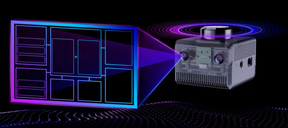
The Aurora Solution's ability to maintain stability across various applications ensures reliable performance, making it a versatile tool for professionals in need of advanced environmental mapping and localization solutions.
- 1x Slamtec Aurora Positioning & Mapping Sensor
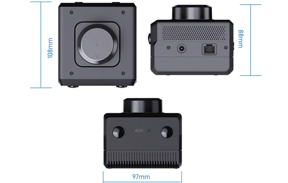
- 108 x 97 x 88 mm (L x W x H)
Website
- Maximum Mapping Area: >1,000,000 m2
- Relocation: Supports global relocation
- Map Continuation: Supported
- Map Loading and Saving: Supported
- Mapping and Positioning Mode: Multi-source fusion of LiDAR, vision, and IMU
- Multi-Sensor Synchronization: Hardware time synchronization
- LiDAR Measurement Distance: 40m, Maximum range of 40m
- Camera Specifications: Binocular fisheye global camera, supports HDR, FOV 180°, 6cm baseline
- Camera Frame Rate: Typical 10Hz, customizable to 15/30Hz
- Maximum Tilt Angle: No requirement (for optimal 2D mapping, a tilt angle of less than 30° is recommended)
- Weight: 505 g
Estimate shipping
WARNING: This product can expose you to chemicals including lead and lead compounds, which are known to the State of California to cause cancer and birth defects or other reproductive harm. For more information go to: www.P65Warnings.ca.gov.